
Káptalantóti: Church Ruin, Local History and Destinations in the Surrounding Area
Accommodation in Káptalantóti
Church ruin on Sabar Hill
East of Káptalantóti, on the northern slope of Sabar Hill, lies the Sabar-hegyi templomrom. It is a medieval, single-nave church ruin. The ruin has survived only in part: the walls of the sanctuary and short sections of the walls of the nave remain. Káptalantóti therefore has a specific historical building structure whose surviving parts are clearly limited. The location on Sabar Hill and its eastern relation to the village give the ruin a precisely defined place in the surroundings of Káptalantóti.
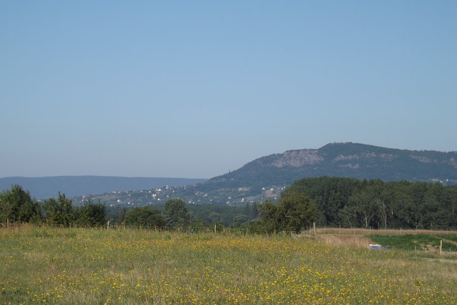 File:Káptalantóti, látkép.JPG
Photo: Kossuthzsuzsa at Hungarian Wikipedia via Wikimedia Commons, CC BY-SA 3.0
File:Káptalantóti, látkép.JPG
Photo: Kossuthzsuzsa at Hungarian Wikipedia via Wikimedia Commons, CC BY-SA 3.0
The former village of Bács
The ruin is connected with the former village of Bács, which lay within the boundaries of Káptalantóti. A church in the village is already documented as existing in 1333. The settlement was permanently destroyed by Ottoman troops in 1549, that is, before 1550. Thus, at a specific local site, medieval church construction, a former settlement and a precisely dated turning point in local history come together. Bács remains explicitly a former village, while the Sabar-hegyi templomrom is recorded as a ruin with surviving sections of wall. This gives the history of the place a temporal depth tied to specific names and years.
Places around Káptalantóti
The ruins of the Pauline monastery lie in the immediate vicinity of Káptalantóti. Szigliget vár lies in the wider surroundings of Káptalantóti. Fekete-Kastély is also located in the wider surroundings of Káptalantóti. These three local references complement the Sabar-hegyi templomrom with further specific destinations. This creates a broader range of topics around Káptalantóti for travelers who do not want to explore culture at just one location. The names remain distinguishable as separate places and are not merged into a single destination. Visitors can therefore incorporate the immediate vicinity and the wider surroundings as different spatial levels in their travel planning.
More destinations in the wider surroundings
Badacsony lies in the wider surroundings of Káptalantóti. Boncsos-tető lies in the wider surroundings of Káptalantóti. Agár-tető lies in the wider surroundings of Káptalantóti. Köves-tető lies in the wider surroundings of Káptalantóti. These four local references extend the view beyond the church ruin and the former settlement to other named destinations. For a stay with changing interests from day to day, these names can be considered as different topics in the wider surroundings. Káptalantóti is thus represented not only through its local history, but also through several geographically associated destinations in the surrounding area.
Regional connections
Gyöngyösi Csárda lies in the wider region of Káptalantóti. The Liliomkert Ökopiac is connected with Káptalantóti. Both connections extend the geographic framework beyond the immediate vicinity and the wider surroundings. For travel planning, the topics around Káptalantóti can therefore be organized into several levels: the medieval church ruin and the history of Bács, destinations in the immediate and wider surroundings, and connections to the wider region and the Liliomkert Ökopiac. This structure keeps local history, landscape and regional topics distinguishable from one another.
More local pages around Lake Balaton: Ádánd, Teleki, Kapolcs, Zánka, Fonyod, Szólád, Taliándörögd and Tihany.

