
Kővágóörs on Lake Balaton: Landscape and Culture in the Surrounding Area
Accommodation in Kővágóörs
Between the Káli Basin and Fekete-hegy
Kővágóörs is located on the northeastern edge of the Káli Basin, at the foot of Fekete-hegy. This location connects the edge of the basin with the foot of the mountain and gives the village a clear landscape setting. If you would like to plan your stay at Lake Balaton based not only on accommodation, but also on the character of the village, the landscape, and your interests in excursions, you can view Kővágóörs from this geographical perspective. The surroundings thus become part of your travel planning without a single experience having to determine your entire stay.
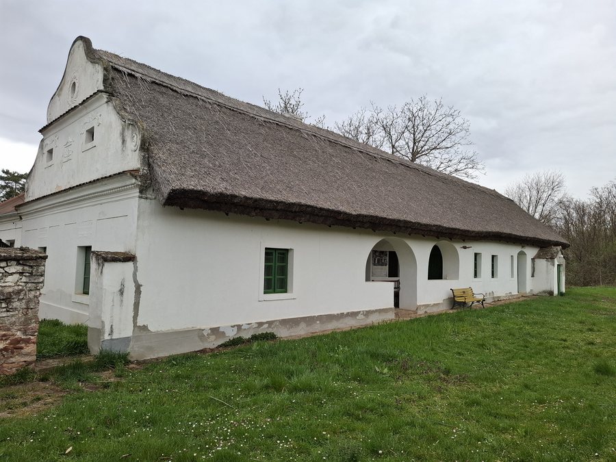
Historical and scenic destinations in the surrounding area
The ruins of the Pauline monastery, Badacsony, and Szigliget Castle are located in the vicinity of Kővágóörs. They expand the village's setting with cultural and scenic destinations that you can take into account when planning your days. This creates an area with several possible focal points, especially for travelers who want to combine different interests at Lake Balaton. Culture, landscape, and excursions can be weighted flexibly without requiring a fixed order.
The Sóstókáli church ruin is a medieval ruin dating from the 13th to the 14th century. The surrounding area was formerly a cemetery. For visitors interested in history, this site combines the church ruin with the former use of the grounds. This makes the ruin a suitable focus for a day when regional history is to be experienced not separately from the landscape, but together with it.
From the immediate surroundings to the wider area
The destinations are spread out from the immediate vicinity to the wider regional area. Vég-máli-hegy is near Kővágóörs. Boncsos-tető is located in the village's surroundings. Fekete-Kastély, Agár-tető, and Csillagvár are in the wider regional area. For your planning, this means that you can distinguish between a destination nearby, other places around Kővágóörs, and a more broadly defined regional excursion. This gradation is particularly helpful when you want to organize individual days according to their scope and focus.
Hiking trail to the Sóstókáli church ruin
A specific route from Kővágóörs to the Sóstókáli church ruin has been described. It can be reached from there via a signposted hiking trail. From Köveskál, access is via an unmarked dirt track; the route is approximately 1 km long. Your day planning therefore includes two differently described routes: a signposted hiking trail from Kővágóörs and an approximately one-kilometer-long, unmarked dirt track from Köveskál.
A place for different daily rhythms
When planning your accommodation in Kővágóörs, you can link your choice of location to your preferred daily rhythm. Historical interests, observing the landscape, and physical activity can be planned as separate focal points and then combined. The village's location on the Káli Basin, its proximity to Fekete-hegy, the destinations in the surrounding area, and the described hiking trail offer various opportunities for structuring your day. In this way, Kővágóörs can be incorporated into a travel plan that considers not just a single destination, but brings culture, landscape, and excursions together in a suitable balance.
More local pages for orientation around Lake Balaton: Balatoncsicsó, Ságvár, Nikla, Várvölgy, Badacsonytomaj, Zánka, Balatonfőkajár, Felsőörs

